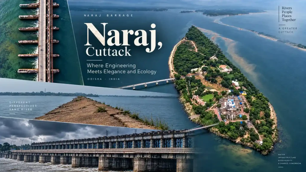
Naraj Begins With the River
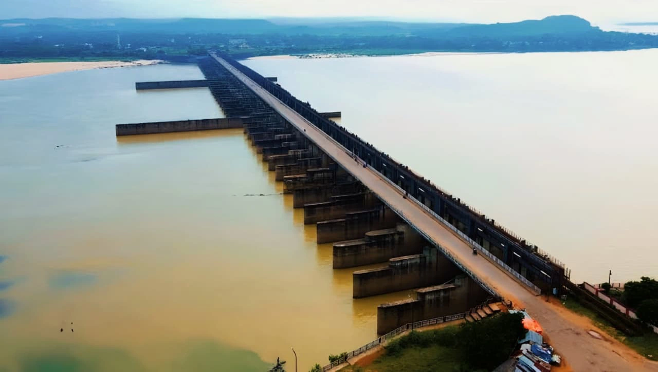
The easiest way to understand Naraj is to start with the river rather than the road.
The Mahanadi travels through Odisha from the west before reaching the coastal plain. Near Naraj, the character of the river changes. The river begins its movement into the delta, and the main channel divides into the Mahanadi and Kathajodi distributaries.
That is why calling Naraj simply a meeting point of the Mahanadi and Kathajodi gives the wrong picture.
The Kathajodi is an arm of the Mahanadi. It branches from the Mahanadi at Naraj before dividing further downstream.
Once you know that, the landscape starts looking different.
The water in front of you is not just part of one river. It belongs to a much wider system that spreads through the delta before eventually reaching the Bay of Bengal through several channels and distributaries.
The Barrage Is the Part Most People Notice First
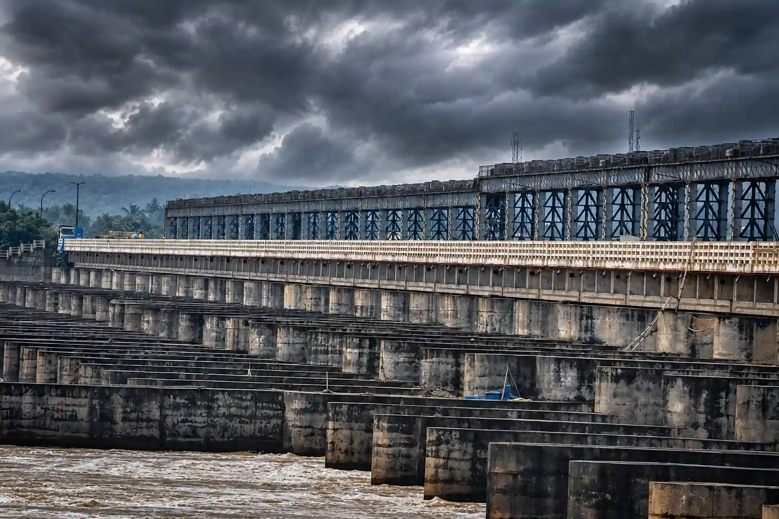
The barrage changes the appearance of Naraj immediately.
It also changes the way the river is managed.
The Naraj Barrage was constructed on the Mahanadi upstream of Cuttack as part of the city's flood-protection arrangements. Its operation is connected with the distribution of river flow between the Mahanadi and Kathajodi systems.
There is nothing decorative about that work.
The gates, channels and embankments exist because the amount of water moving through this part of Odisha can change enormously between seasons. During ordinary conditions, the structure may appear almost quiet. During a major flood, the same landscape has a completely different meaning.
That is one reason Naraj is worth understanding before simply calling it a picnic spot.
It is a working part of the river system.
Why Naraj Matters to Cuttack
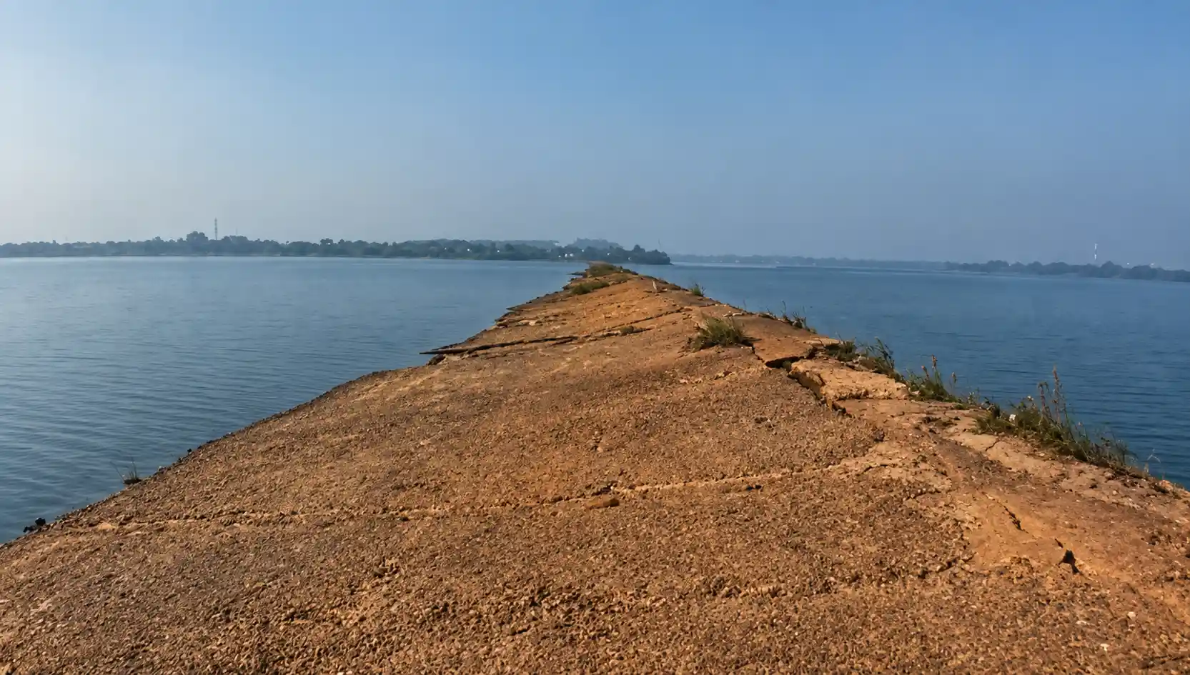
Cuttack has never been separated from its rivers.
The city's history, settlement pattern and recurring flood problems are tied closely to the waterways around it. Naraj sits upstream of the city at a point where the river is being divided and managed before the water moves deeper into the delta.
The Naraj Barrage forms part of the flood-protection arrangements for Cuttack. The way water is distributed through the Mahanadi and Kathajodi system becomes particularly important when river discharge rises.
This is the part that is easy to miss when visiting.
You see a river.
The authorities see a river whose behaviour has to be watched.
The difference is important.
Naraj is also part of the flood-monitoring network for the Mahanadi system. That gives the place another identity beyond its appearance.
The River Looks Different With Every Season
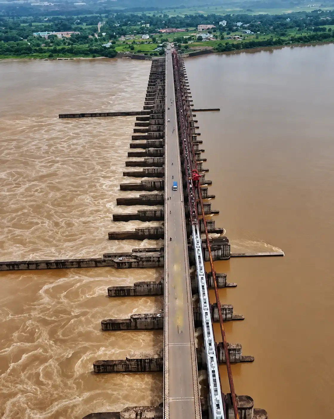
Naraj does not look the same throughout the year.
In the drier months, the river can appear wide and relatively settled. The open banks and surrounding fields become easier to see, and the long views are one reason people enjoy coming here in the cooler part of the year.
Then the monsoon arrives.
The river rises. The colour of the landscape deepens. The movement of the water becomes much more noticeable.
Naraj has long been used as a flood-monitoring point because conditions in this section of the Mahanadi can change significantly during high-water periods.
That history is useful to remember when looking at photographs of Naraj during the rains. A dramatic river is not necessarily a safer river.
During periods of heavy rainfall or high discharge, visitors should keep away from the water's edge and any restricted barrage areas. The river may look calm from one position while moving strongly underneath.
Naraj Bridge Has Its Own Place in Cuttack's Landscape
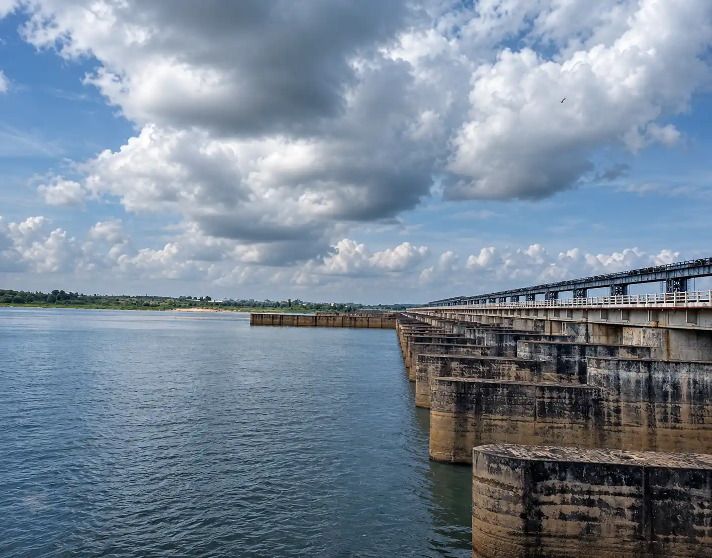
The bridge gives Naraj its familiar visual shape.
From the surrounding roads, it cuts across the open river landscape and gives some sense of how broad the water system becomes around Cuttack.
For photographers, there is already plenty to work with. The bridge provides a strong horizontal line. The river changes the background. The sky does the rest.
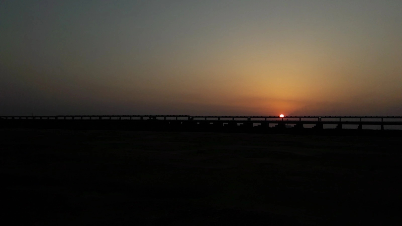
Morning light can leave the scene quiet and pale. Towards evening, the structure becomes more pronounced against the changing sky. After rain, the surrounding greenery can make the entire view feel heavier and deeper.
There is no need to manufacture a dramatic scene.
Naraj already has one.
Why People Still Come Here for an Evening
Not everybody who comes to Naraj wants to understand the Mahanadi basin.
Some people simply want to sit somewhere open.
Naraj has long been used as a local recreation and picnic spot, particularly during the cooler months.
That ordinary use is part of the place.
A group of friends can arrive for an evening ride. A family can bring food during winter. Someone with a camera can wait for the light. Another person may stop for ten minutes, look at the river and continue towards home.
There is no need to turn every visit into a sightseeing programme.
The river does enough.
Naraj Marthapur Road and the Ride Out of Cuttack
The road towards Naraj has its own character.
Coming out from the denser parts of Cuttack, the surroundings gradually open up. Buildings give way to stretches of vegetation and farmland, while the river landscape becomes more visible around the Naraj side.
For people living in and around Cuttack, that makes Naraj an easy choice for a short ride rather than a destination requiring an elaborate travel plan.
The road is still a working local road, though. Traffic, rain and local activity can change the experience from one day to another.
The best part is not pretending that every metre of the route is a tourist attraction. It is simply the change in scenery as the city gives way to the river.
The Environmental Story Goes Beyond the Barrage
The Naraj–Chilika connection is often explained too simply.
It is tempting to say that the barrage controls the sediment entering Chilika Lake, but the actual river system is much more complicated.
After Naraj, water moves through a network of distributaries. The Kathajodi divides further downstream, while the Kuakhai, Daya and Bhargavi are part of the broader system connecting the Mahanadi delta with Chilika and the coastal plain.
Research has examined the relationship between the Naraj Barrage, river flow and sediment movement towards Chilika. Those studies provide useful evidence about changes in the downstream system, but they should not be turned into the claim that one barrage alone determines the condition of the lagoon.
Chilika has its own hydrological and coastal processes. The Naraj system is one part of that much larger picture.
How Naraj Barrage Connects to Chilika's Wider River System
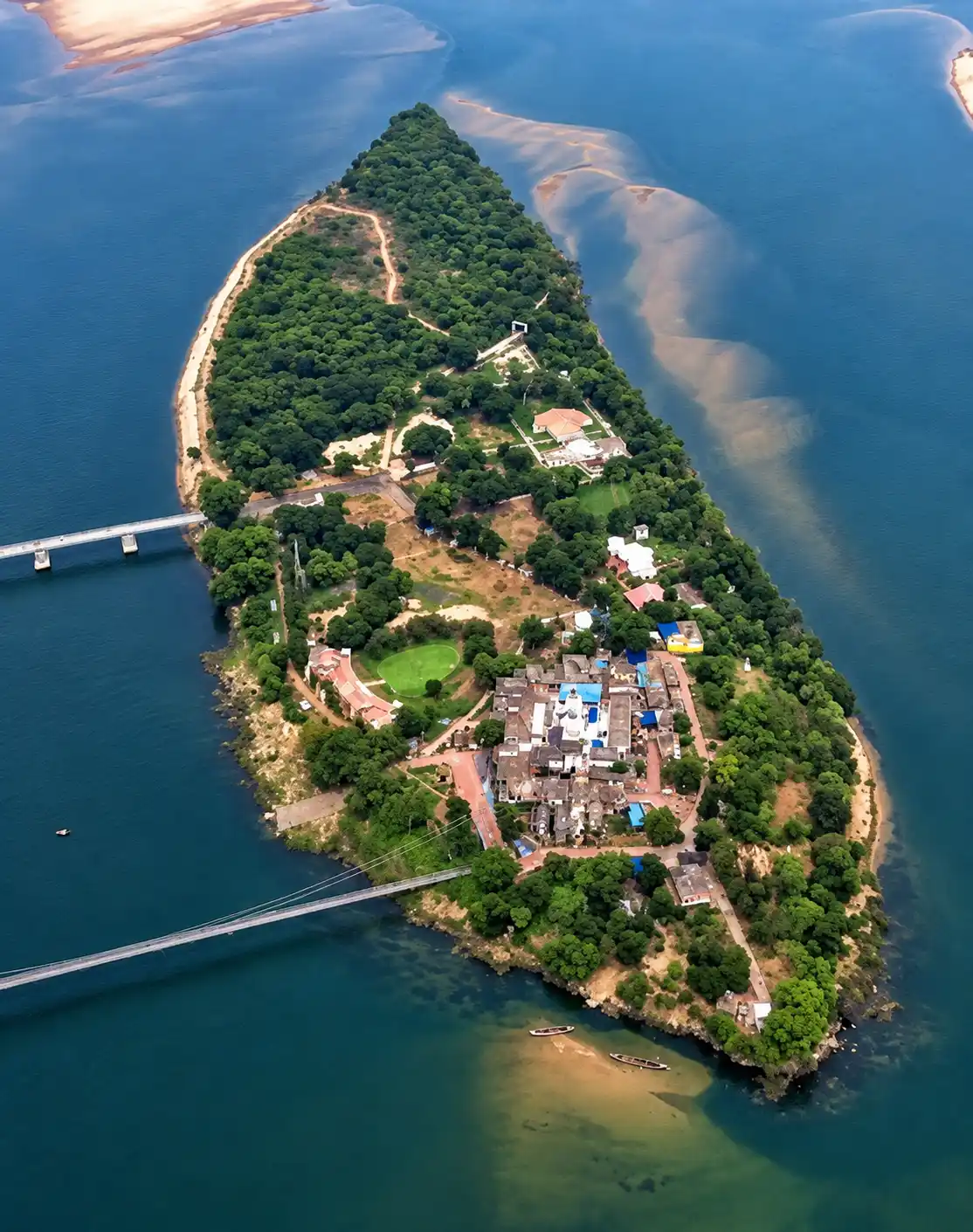
The connection between Naraj and Chilika is easier to understand when the entire river network is considered rather than two locations being placed side by side.
Water leaving the Mahanadi system travels through a series of distributaries and channels. The Kathajodi and Kuakhai systems form part of this network, while rivers such as the Daya and Bhargavi eventually carry freshwater towards Chilika.
Because water and sediment move through several connected waterways, changes upstream can have consequences downstream. At the same time, the condition of Chilika depends on many other factors, including rainfall, freshwater inflow, sediment movement, tidal exchange and coastal processes.
Naraj is therefore best understood as one important point in a much larger hydrological story.
A Place Where Engineering Is Visible
There are not many places around Cuttack where the relationship between a city and its river is this easy to see.
The barrage is there because the water needs to be managed.
The bridge is there because people need to cross.
The embankments exist because floods have always been part of the story.
The fields remain beside all of it.
And people still come to sit near the river.
Nothing about the landscape is purely natural anymore, yet nothing about it feels completely separated from the river either.
That is what gives Naraj its character.
What to Look for When You Visit Naraj
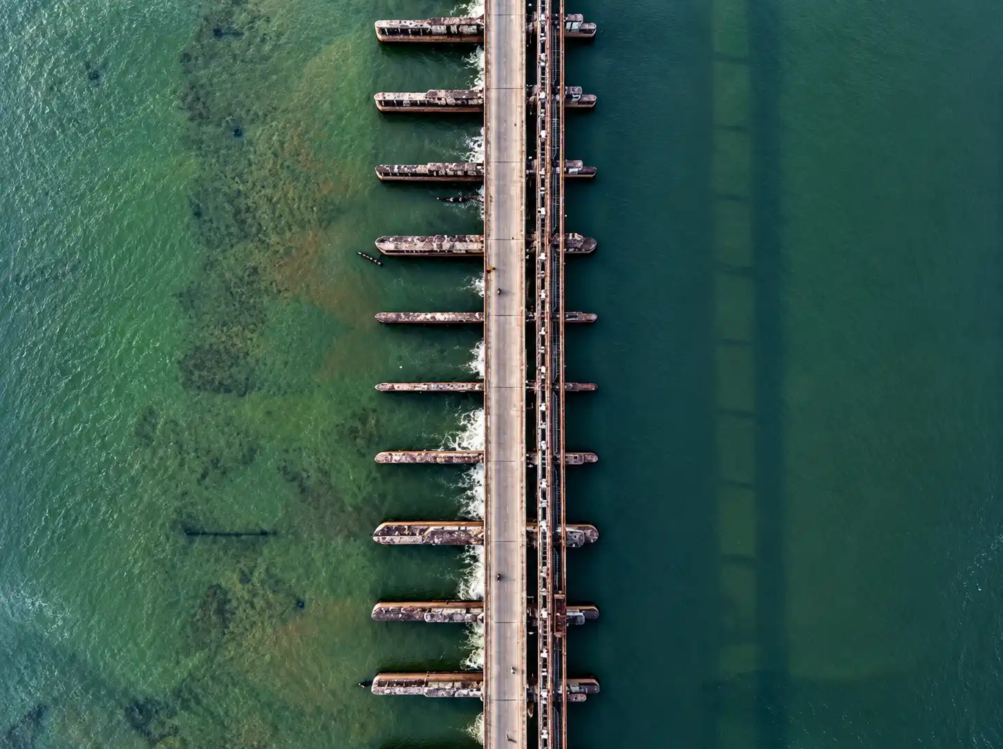
If you arrive with a camera, the obvious choice is to point it at the bridge.
There is more to see.
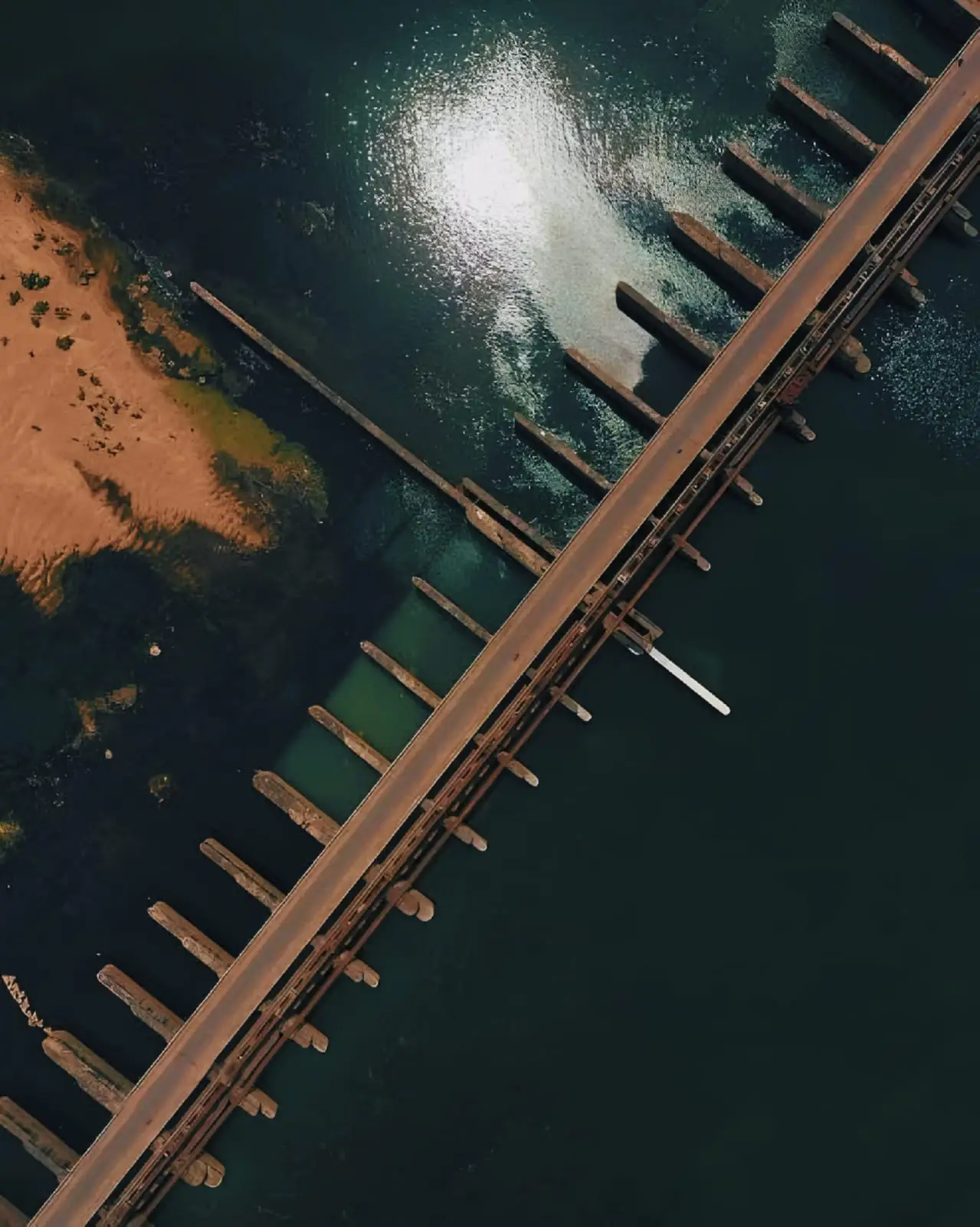
Watch the water around the barrage. Look at the different textures where the current changes. Notice the fields beyond the embankment. Look at the way the same stretch of river changes under morning light, afternoon heat or a monsoon sky.
The small details are often better than the postcard view.
You may notice birds along the quieter edges of the water. You may see people fishing or travelling along the surrounding roads. You may hear traffic from the bridge while the river continues below it.
That mixture is Naraj.
It is not a remote wilderness area. It is a working riverside landscape sitting close to one of Odisha's major urban centres.
When Is a Good Time to Visit Naraj?
For an easy outdoor visit, the cooler months are more comfortable. Winter is also the period when Naraj is commonly used for picnics.
The monsoon creates a different experience altogether. The vegetation becomes greener and the river carries much more visual weight, but that is also when caution matters most.
For photography, early morning and late afternoon are generally easier than the middle of the day. The light is less harsh and the open river landscape gives you more depth.
If the purpose is simply to sit beside the river, there is no need to chase a particular season. Naraj changes enough to reward more than one visit.
Things Worth Remembering Before Going
The barrage is working infrastructure. Do not treat operational or restricted sections as viewpoints.
The river can change quickly. Heavy rain and upstream discharge can alter water levels and currents.
Do not go into the water. A calm surface does not tell you how strong the current is underneath.
Do not cross barriers for photographs. The river already offers enough without taking unnecessary risks.
Carry drinking water. Naraj is not a conventional landscaped tourist park with every visitor facility arranged around the sightseeing experience.
Take your waste with you. Food packets and plastic have no place beside the river.
Check local conditions during the monsoon. Naraj is part of a flood-monitored river system, not simply a scenic viewpoint.
How Far Is Naraj From Cuttack?
Naraj is close enough to Cuttack to be treated as a short local outing. The exact road distance depends on the part of Cuttack you start from and the route you take.
For navigation, using a specific destination such as Naraj Barrage or Naraj Bridge is more useful than entering only the locality name.
The important thing is not the number on the kilometre counter. It is how quickly the landscape changes once you leave the denser parts of the city.
Naraj in the Larger Cuttack Story
Cuttack makes more sense when its rivers are kept in the picture.
The city's relationship with the Mahanadi and Kathajodi is not something limited to geography textbooks. It affects where water goes, how floods are managed, where embankments are built and how people have settled around the river system.
Naraj sits close to one of the points where all of this becomes visible.
The Mahanadi reaches the delta here.
The Kathajodi branches away.
The barrage regulates water.
The river is monitored during floods.
And on an ordinary winter evening, people still arrive simply because they like the view.
That combination is difficult to reproduce anywhere else around Cuttack.
Frequently Asked Questions About Naraj, Cuttack
Where is Naraj located?
Naraj is located near Cuttack in Odisha, at an important point in the Mahanadi river system where the river enters its delta and the Kathajodi branches away.
What is Naraj Barrage used for?
The Naraj Barrage is part of the water-management and flood-protection system upstream of Cuttack. Its operation is connected with the distribution of flow between the Mahanadi and Kathajodi systems.
Is Naraj the confluence of the Mahanadi and Kathajodi?
No. The Kathajodi is an arm of the Mahanadi that branches from the Mahanadi at Naraj.
Why is Naraj important to Cuttack?
Naraj is important because of its position in the Mahanadi river system and its connection with flood management and water distribution upstream of Cuttack.
Is Naraj good for photography?
Yes. The bridge, barrage, river, fields and open sky provide plenty of natural subjects. Morning and late afternoon are particularly useful for softer light.
Is Naraj a picnic place?
Yes. Naraj is used as a local picnic and recreational location, particularly during the cooler months.
Can I visit Naraj during the monsoon?
You can visit the area, but extra care is necessary around the river and barrage. Water levels and currents can change during heavy rainfall and high discharge.
Is Naraj connected with Chilika Lake?
Naraj is connected to the wider river network that includes distributaries and rivers flowing towards Chilika. The relationship involves several waterways and hydrological processes rather than a direct one-barrage-to-lake connection.
Naraj Is Better Understood From the Riverbank
A map can show where Naraj is.
A government document can explain what the barrage does.
A flood report can tell you why the river is monitored.
But none of those things quite captures the ordinary experience of standing there.
The bridge carries traffic overhead. The barrage sits across the water. The Mahanadi continues into the delta, while the Kathajodi takes its own course.
People come and go.
Someone stops for a photograph. Someone else has brought food. A motorcycle leaves along the road. The river keeps moving.
That is Naraj.
It does not need to be described as an untouched paradise. It is not one.
It is something more specific: a working river landscape where engineering, flood management, agriculture, roads and ordinary Cuttack life have grown around the same water system.
And perhaps that is why the place stays in memory.
You arrive expecting a river view.
You leave knowing a little more about the river.