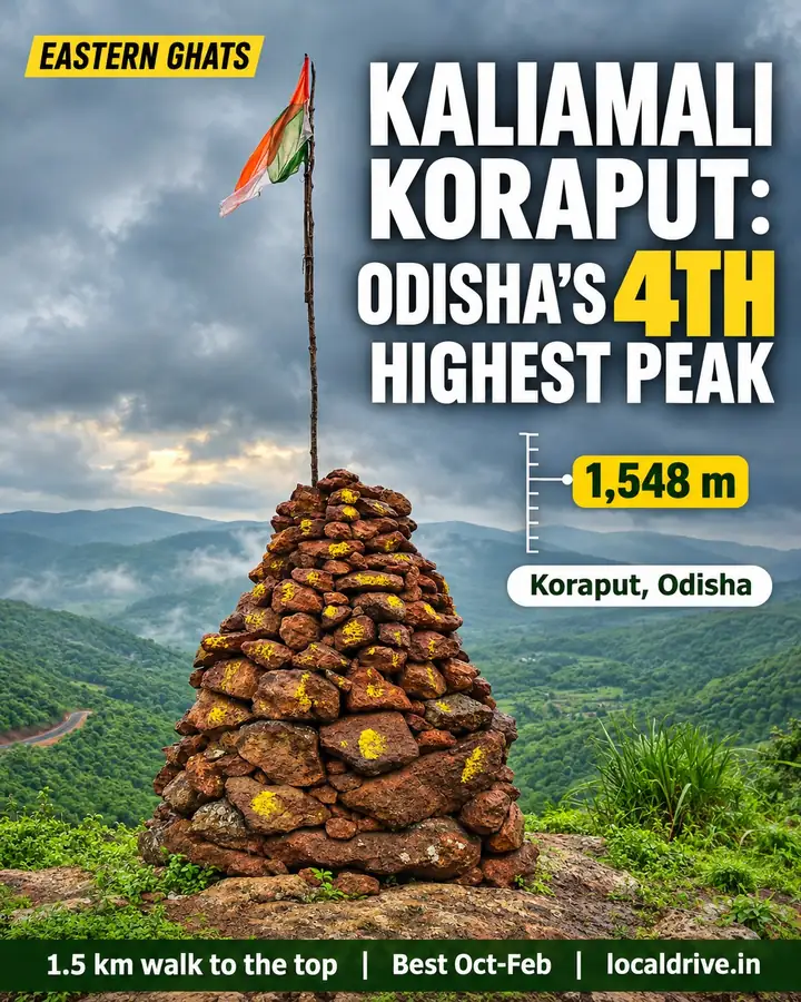
Trip facts
Height
About 1,548 m (5,079 ft)
Location
Near Jhadipadar, Koraput district
Walk to the top
About 1.5 km, 30–45 minutes
Entry fee
₹150 per car, ₹50 per bike
Best time
October to February
From Bhubaneswar
About 480–510 km to Koraput
Kaliamali at a glance
| Fact | Details |
|---|---|
| Location | Eastern Ghats, Koraput district, Odisha (Narayanpatna area, near Jhadipadar village) |
| Height | ~1,548 m (5,079 ft). Prominence ~399 m (1,309 ft) |
| Rank | Widely described as Odisha's 4th-highest peak |
| Base village | Jhadipadar / Jharipadar |
| Trek | ~1.5 km, 30–45 minutes from the last village. A longer ~2-hour trail starts near Bhijaghati on the Damanjodi side |
| Approx. coordinates | 18.776° N, 83.029° E |
| Nearest railway stations | Damanjodi and Koraput |
| Nearest airport | Visakhapatnam (~200 km) |
| Distance from Bhubaneswar to Koraput | ~480–510 km by road, 7–8.5 hours |
| Entry fee | ₹150 per car or ₹50 per bike, collected at the entrance. Carry cash |
| Facilities | None on top. No food or water for a long way around |
| Mobile network | Patchy. Calls on Jio and Airtel, very little data |
| Best time | October to February |
| Camping | Allowed; organised tents from about ₹2,000–2,500 per person |
Why Kaliamali is worth the drive
Most Koraput itineraries stop at Deomali, Odisha's highest peak. Kaliamali sits in the same highland belt, roughly 13 km north-east of Deomali as the crow flies, but it gets a fraction of the visitors. According to GoKoraput, the summit is surrounded by green mountains on three sides, with a dramatic rock cliff on the fourth.
That cliff is the reason people come. One camper who reviewed the peak on Yappe described standing at the edge of a crescent rock cliff with the valley under your feet, and said it was one of the best tenting spots around Koraput. Sunrise and sunset both work from the cliff edge, and there's a man-made pool on top that usually fills during the monsoon.
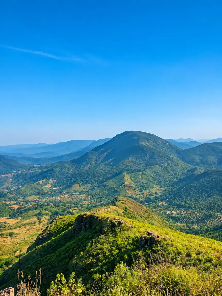
The open grassland is why Koraput tourism pages keep calling the area the "Switzerland of Odisha". A Bengali travel feature in India Hood went further and compared Kaliamali to a slice of a European village.
Kaliamali height and facts
- Height: about 1,548 m. The 5,079 ft figure quoted by trekkers is the same height in feet.
- Prominence: about 1,309 ft (~399 m), so it stands clearly above the surrounding ridges.
- Range: Eastern Ghats, in the Lakshmipur–Pottangi forest range.
- Ranking: usually listed as Odisha's 4th-highest peak, after Deomali (1,672 m). Rankings of the peaks in between vary by source.
- Terrain: grassy tabletop, rocky cliff edge, short forest patches on the approach.
- Local communities: the Koraput highlands are home to Paraja, Gadaba, Dhuruva and Bonda communities, among others. You'll pass small tribal villages on the way up.
Kaliamali vs Deomali vs Talamali
These three are usually visited on the same trip, and they suit different travellers.
| Kaliamali | Deomali | Talamali | |
|---|---|---|---|
| Height | ~1,548 m | ~1,672 m (Odisha's highest) | Lower tabletop hill |
| Crowds | Low | Busiest, especially on winter weekends | Moderate |
| Walk to the top | ~1.5 km from the last village | ~3 km trail, or drive close to the top | Short walk |
| Highlight | Crescent cliff and valley view | Highest-point views, developed hilltop | Open grassy tabletop, sunrise camping |
| Facilities | None | Some tourist amenities and a nature camp nearby | Organised camps |
| Best for | Quiet sunrise, wild camping | First-time visitors | Easy camping with families |
If you only have one sunrise in Koraput, pick Kaliamali for solitude and Deomali for the "highest peak" photo. With two mornings, do both.
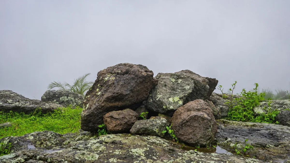
How to reach Kaliamali
Kaliamali isn't on a highway, and the last stretch is on narrow village roads. Getting the route right matters more here than at Deomali.
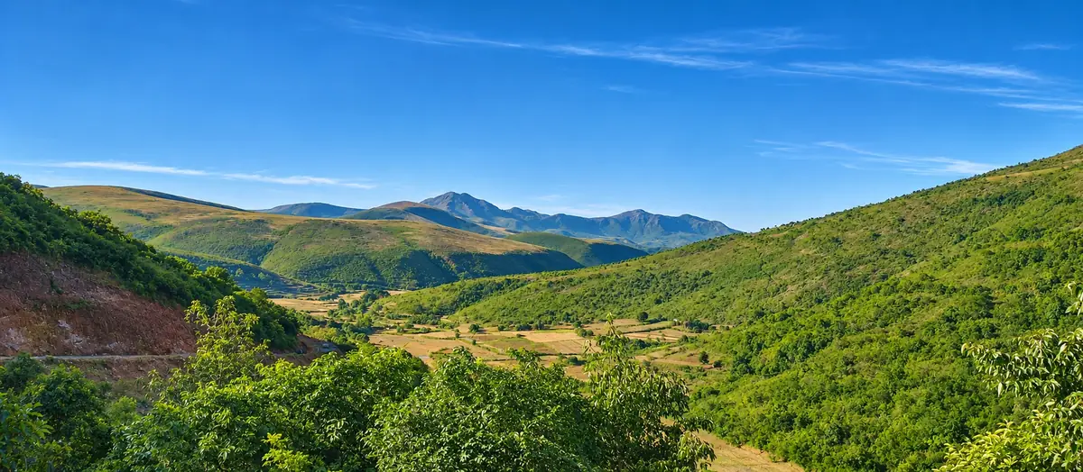
Step 1: Get to Koraput
- By car from Bhubaneswar: about 480–510 km. Cleartrip estimates around 7 hours of driving, and cab operators quote about 8.5 hours. Most self-drivers go via Berhampur and Rayagada, or via the inland route through Bhawanipatna. Break the journey or leave very early.
- By train: the Bhubaneswar–Koraput overnight train (18447, Hirakhand Express) reaches Koraput in the morning. Damanjodi station, on the same line, is closer to the Kaliamali side.
- From Visakhapatnam: about 200 km. Fly into Vizag and drive up through Araku or Sunki.
Step 2: Drive from the highway to Jhadipadar
The most-used route, described by a camper on Yappe, runs:
- Take the Visakhapatnam–Koraput road to Sunki and on to Kunduli.
- About 10 km past Kunduli, look for the Kaliamali junction. A signboard for "Eco Retreat Koraput" marks the turn.
- Drive about 25 km on village roads to Jhadipadar and park.
- Walk about 1.5 km to the top. Most people take 30–45 minutes.
Coming from Koraput town, you join this route at Kunduli. Allow roughly two hours from Koraput, and set your navigation to the summit coordinates (18.776, 83.029) rather than a village name, because signal drops on the last stretch.
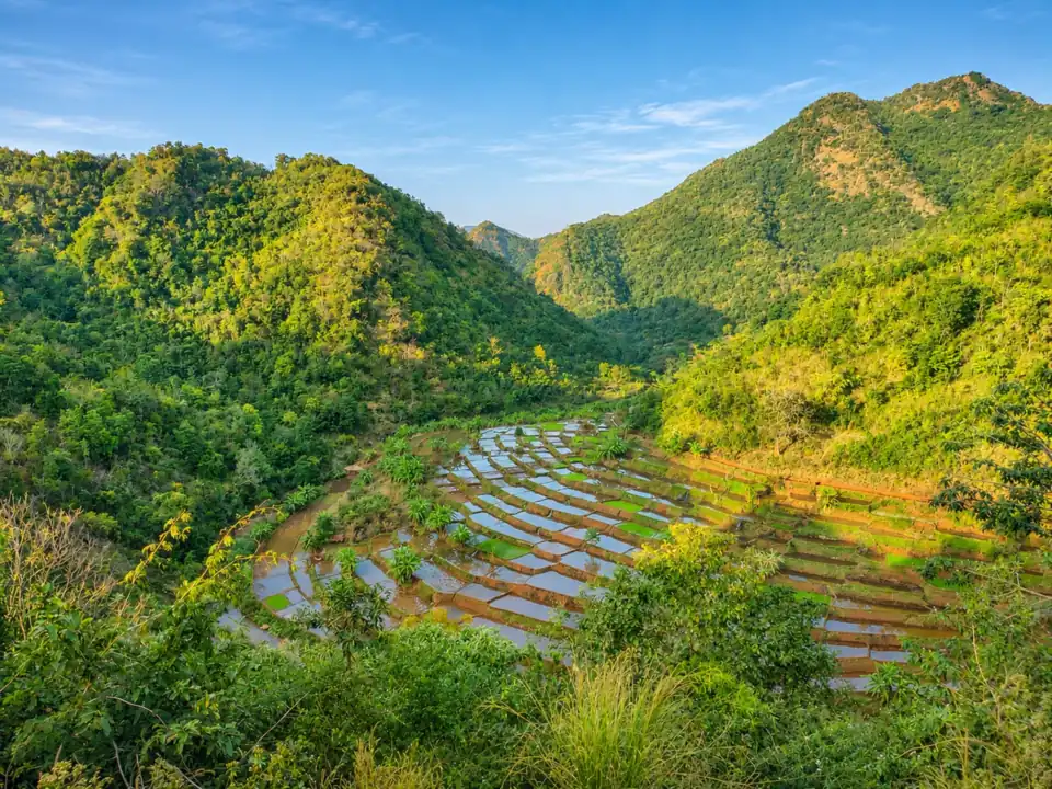
Alternative: the Damanjodi side
You can also approach from Damanjodi, drive to Bhijaghati and trek about 2 hours. The same reviewer said bikes can go all the way up, but that the ride is risky and only for experienced riders. Treat this as a trekking route, not a driving route.
Which car to take
A camper who listed the site on WanderCamps rated the road "good", with minor rough patches, and said a regular hatchback should manage. They also warned that the soil gets very soft in the rains. GoKoraput describes the approach as narrow hill roads.
Our advice for a self-drive trip:
- October to May: a hatchback can usually make it to Jhadipadar if you drive slowly. An SUV or compact SUV is more comfortable on the broken patches and with a full boot of camping gear.
- Monsoon: take a car with good ground clearance, park on firm ground and don't drive the last stretch after heavy rain.
- Fuel: fill up in Koraput, Semiliguda or Damanjodi. There's nothing near the peak.
- Electric car: It's doable. We took a Nexon EV up in the monsoon (see our trip below). Charge to full in Koraput, because there's nowhere to charge near the peak.
- Don't drive up in the dark for the first time. If you want sunrise, camp on top or stay nearby the night before.
Our trip: Talamali, a wrong turn and coffee in the clouds at Kaliamali
None of us had ever seen Koraput in the monsoon. None of us had ever been to Kaliamali either. So we packed raincoats, loaded up our Tata Nexon EV and went to find out what everyone was talking about.
Charging up in Koraput
First things first: the battery. There is no charging station in Koraput till now. A small local hotel let us plug the Nexon into a regular socket overnight for ₹200 a day on top of the room rent. Next morning, full battery, raincoats on, and we were off to Talamali, then Kaliamali.
Talamali: a tabletop in the rain
Talamali is one huge tabletop mountain, flat and green and wide open. By the time we got there, the rain had stopped, as if it was waiting for us. We walked down into the valley and just wandered, getting our boots wet in the grass.
Of course we got talking about the film set. Word on the hill is that SS Rajamouli's crew recently shot scenes here for Varanasi, his big film starring Mahesh Babu and Priyanka Chopra Jonas, which is due in theatres on 7 April 2027. Standing on that tabletop, you can see why a director would pick it.
Then the sky changed its mind. The clouds came pouring into the valley, the rain followed, and we ran for the small viewing kiosk that the Odisha government has built there. Thank you, raincoats. We sheltered, watched the valley disappear and reappear, grabbed a few shots, and set off for Kaliamali.
The wrong turn
Here's where it went wrong. There's no internet up here, so Google Maps doesn't load. We'd been smart and saved the Talamali-to-Kaliamali route offline before leaving Koraput. Or so we thought.
We'd saved the wrong route. We followed it faithfully, parked, and walked up a little hill towards… nothing. A dead-end trail and some bushes. We stood there looking at each other: is this it? Is this the Kaliamali everyone raves about?
Honestly, the mood crashed. Someone said it out loud: let's just go home.
The road that wasn't on the map
On the way back down the wrong track, we spotted another road. It looked better, wider and more used, as if it was going somewhere. There was no signboard and no "Kaliamali this way", nothing. But we still had daylight, so we looked at each other and thought: why not?
And that was the road. We still can't quite explain it. It felt as if Kaliamali had been calling us the whole time, just waiting for us to stop following the phone and trust the hills.
We reached the entrance, paid the entry fee and drove on towards the mountain side. Then the view opened up and we went quiet.
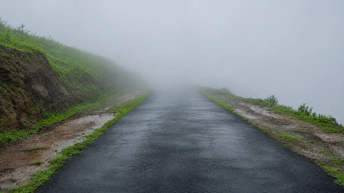
Heaven, with clouds stuck in it
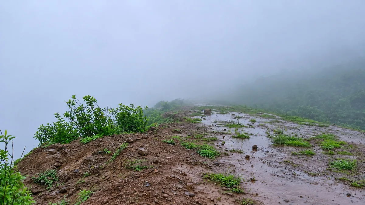
Remember the clouds that chased us out of Talamali? They'd come to Kaliamali too, and they were stuck there. They'd settled into the valley below the cliff and filled it like milk in a bowl, rolling, soft and slow. We'd seen plenty of photos of this place, and none of them had prepared us.
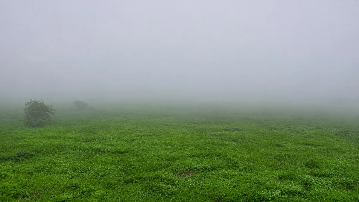
We parked the Nexon and honestly ran towards the valley like kids.
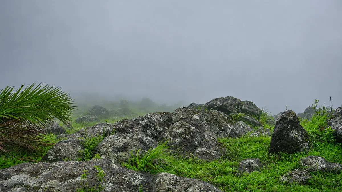
The best Americano we've ever had
We'd brought a mocha pot (a stovetop coffee maker) all the way from Koraput for exactly this moment. Then we realised we'd forgotten to carry water up to the top. Brilliant.
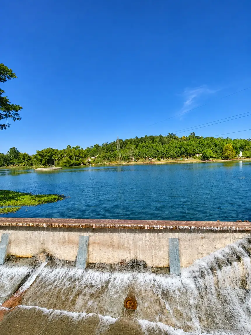
So we filled the mocha pot from the pond on the hilltop. Then came the next challenge. The wind up there was having none of it. Every time we lit the stove, a gust came racing across the hilltop and blew the flame out. So we crouched around it in a huddle, raincoats spread like a windbreak, cupping the little blue flame with our hands until it finally caught.
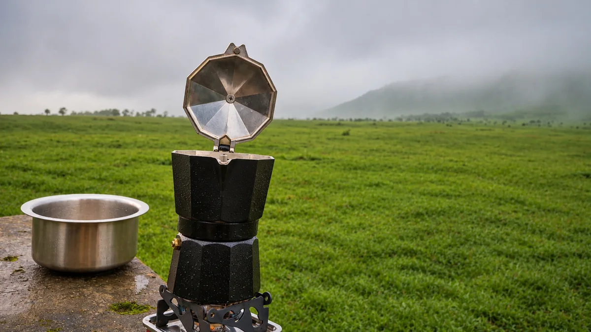
A few minutes later, the pot started gurgling, and we had Americanos by the pond, with fog drifting across the grass and drizzle on our hoods. Was it the best coffee in the world? Probably not. Was it the best coffee we've ever had? Absolutely. Some things just taste better in the rain at 1,500 m.
What we learned (so your trip goes smoother)
- Ask before you book. Many small hotels in Koraput don't advertise EV charging, but some will let you use a regular socket if you ask. Call ahead, confirm the price, and check that the socket is near where you can park.
- Carry the portable charger that came with your car. A hotel socket is only useful if you have your own cable.
- Charge overnight, every night. Slow charging from a wall socket takes many hours, so plug in as soon as you check in.
- Leave Koraput with a full battery. There's nowhere to charge between Koraput and Kaliamali, and the climb uses more charge than flat highway driving. Regenerative braking gives some of it back on the way down.
- Plan the Bhubaneswar–Koraput leg separately. At 480–510 km, it's longer than a single charge for most EVs, so plan your charging stops on the highway before you set off.
- Double-check your offline map. Save the route to the Kaliamali entrance (or the summit coordinates, 18.776, 83.029), not just a pin labelled "Kaliamali". We followed a saved route to a dead end. If the road you're on ends in a trail to nowhere, go back and look for the wider, better-used road.
- Carry water to the top. We got away with boiling pond water for coffee, but don't rely on it, and never drink it unboiled. Bring 3–4 litres per person.
- Pack a raincoat in the monsoon. The weather between Talamali and Kaliamali switched from dry to downpour in minutes.
- Keep some cash for the entry fee. It's collected at the entrance, and there's no network for UPI.
If you're renting an EV for this trip, tell us your route when you book and we'll help you plan the charging stops.
What travellers say about Kaliamali
We went through camper reviews, travel blogs and vlogs to see what the trip is really like. A few themes came up again and again.
- The cliff view is the payoff. The Yappe reviewer pitched it as a once-in-a-lifetime view of a valley under your feet, and as a place to relive "granny's stories about stars in the sky", because the night sky is so dark.
- Winter nights are properly cold. The same camper said winter nights can drop to about 0–5 °C and recommended full winter gear and blankets. That's much colder than most people expect from Odisha.
- You must be self-sufficient. According to that review, there's no food or water for about 30 km around the site. The WanderCamps lister found no water or toilets at all and suggested carrying 3–4 litres of water per person per day.
- Villagers are helpful. Campers describe the area as safe for overnight stays and the local villagers as helpful. The WanderCamps lister recommends asking the village or landowner before pitching a tent.
- Sunrise comes in layers. GoKoraput describes ridge after ridge of hills appearing out of the haze, glowing orange and blue as the sun comes up.
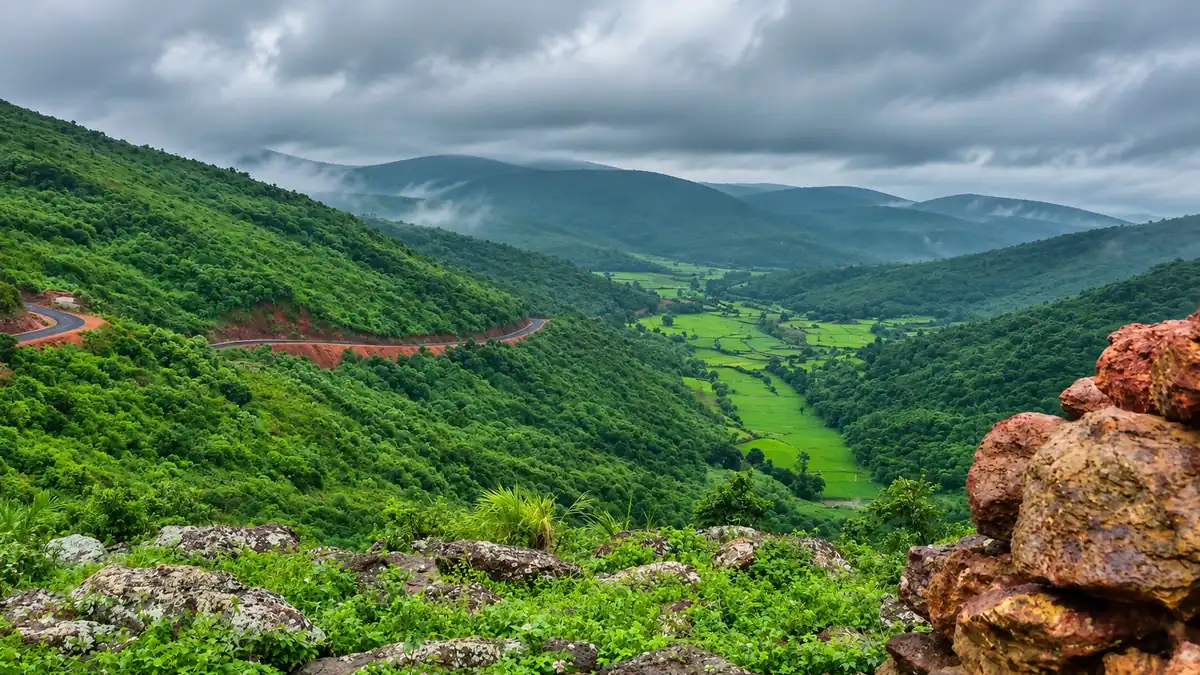
- Monsoon is a different trip. The WanderCamps listing says the site is at its best in the monsoon, when you're literally inside the clouds. GoKoraput warns that fog can hide the views and make roads slippery.
- Riders love the road. Several YouTube vloggers have filmed the climb by bike, including a 2025 Odia vlog riding up from Jeypore. The videos show winding village roads and open grassland near the top.
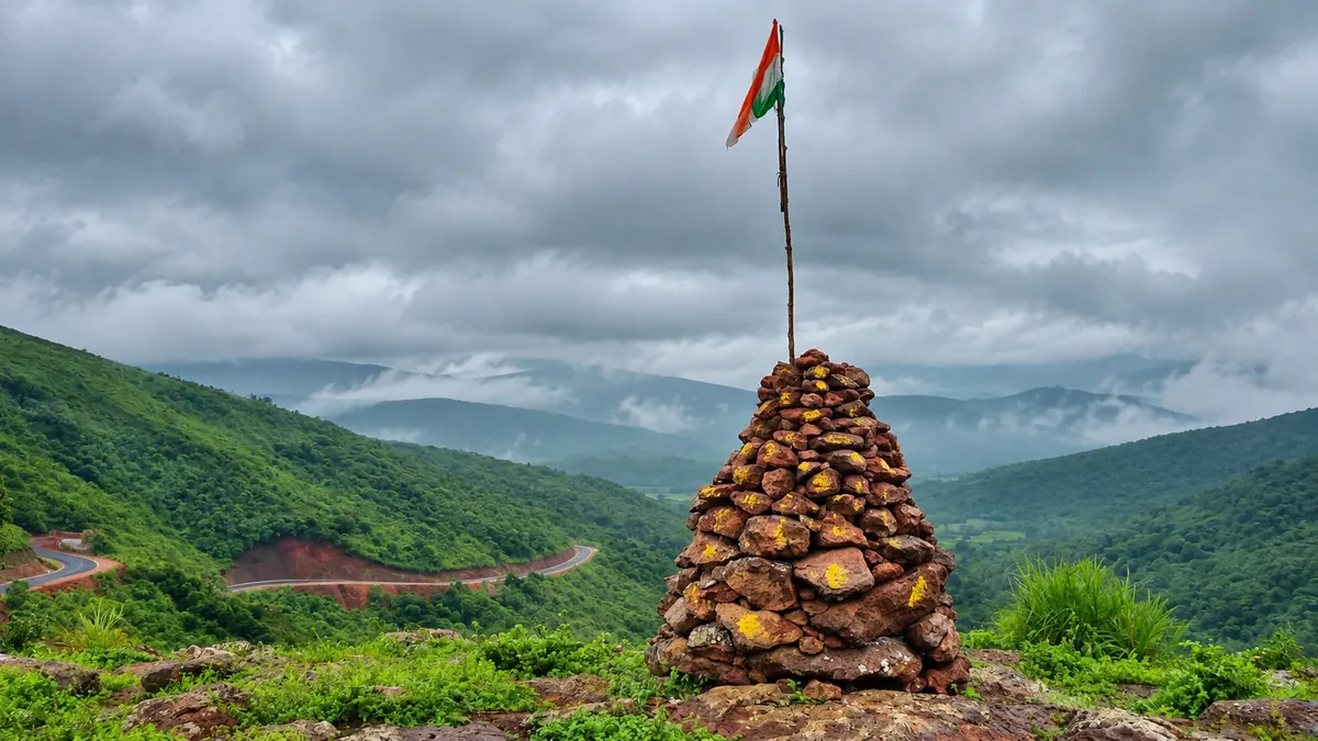
Best time to visit Kaliamali
| Season | What to expect |
|---|---|
| October–February (best) | Clear skies, long-distance views and the best sunrises. Cold, windy nights, close to freezing in December–January |
| March–May | Warm afternoons and more haze. Go at dawn or late in the day |
| June–September (monsoon) | Lush green hills and clouds rolling over the cliff. Views can disappear in fog, and roads get slippery and soft |
Weekends from November to January are the busiest time across Koraput, but Kaliamali stays quiet compared with Deomali. Try to time your trip with the Koraput winter festival season if you want to add cultural events to the trip.
Camping at Kaliamali
Kaliamali is one of Koraput's best-known hilltop camping spots, and you have two options.
Organised camping. Local operators set up tents for you.
- OdishaTour.in lists Kaliamali tents at about ₹2,500 per person with food or ₹2,000 per person without food. Its packages include a tent, mattress, blanket, bonfire, lights, drinking water and dinner and breakfast.
- GoKoraput runs Kaliyamali mountain camping with dinner, a bonfire and a camp coordinator, and includes Kaliamali in its multi-day Koraput itineraries.
Wild camping. Bring your own tent and gear. If you do:
- Pack winter clothing, a sleeping bag rated for near-freezing nights and extra blankets.
- Carry all your food and at least 3–4 litres of water per person per day.
- Store food sealed inside your tent or car. This is wildlife habitat.
- Ask villagers before you pitch, keep fires small and fully put out, and carry every scrap of litter back down.
A 3-day Bhubaneswar–Koraput self-drive plan with Kaliamali
All timings are approximate.
Day 1: Bhubaneswar to Koraput
- 5:30 am: Leave Bhubaneswar. Breakfast on the highway.
- Afternoon: Reach Koraput (7–8.5 hours of driving with stops).
- Evening: Visit Sabara Srikhetra (the Jagannath temple) and buy supplies for tomorrow: water, snacks, a torch and a warm layer. If you're driving an EV, plug it in at your hotel as soon as you check in.
Day 2: Kaliamali sunrise and Deomali sunset
- 4:00 am: Leave Koraput if you're doing a sunrise day trip, or wake up in your tent if you camped on top the night before. Camping is the safer and more relaxed choice.
- Sunrise: Watch the valley light up from the crescent cliff.
- 9:00 am: Walk down to Jhadipadar and drive back towards Kunduli.
- Afternoon: Drive to Deomali (via Semiliguda) and walk up to the top.
- Sunset: Deomali hilltop, then back to Koraput or Semiliguda for the night.
Day 3: Talamali or Duduma, then home
- Morning: Talamali tabletop hill, or Duduma Waterfall if you'd rather see water.
- Midday: Start the drive back to Bhubaneswar, or stay another night and visit the coffee gardens and Gupteswar caves.
More relaxed version: Book an organised tent at Kaliamali for night 2, so you get both sunset and sunrise from the cliff without any night driving.
What to pack for Kaliamali
- Warm jacket, cap and gloves (essential from November to February)
- Sturdy shoes with grip for the rocky and grassy patches
- At least 3–4 litres of water per person, plus food and snacks
- Torch or headlamp, power bank and offline maps
- Rain jacket in the monsoon
- A bag for all your rubbish
Safety and responsible travel tips
- Stay back from the cliff edge, especially in wind or fog. There are no railings.
- Start early. Views are clearest before mid-morning haze and afternoon cloud. Winds can pick up later in the day.
- Don't rely on your phone. Calls work only on some networks, and data barely works. Tell someone your plan.
- Respect the villages. Ask before photographing people, drive slowly through settlements and don't play loud music.
- Leave no trace. There's no waste collection on the hill.
Conclusion: plan your Koraput road trip
Kaliamali rewards the travellers who plan for it: start early, carry your own water and warm layers, and give yourself a night in the hills for that cliff-edge sunrise. Book a self-drive car with LocalDrive, petrol, diesel or electric, take the scenic road to Koraput and see Odisha's quietest high peak before everyone else discovers it.
Frequently asked questions
Where is Kaliamali located?
Kaliamali is in the Eastern Ghats of Koraput district in southern Odisha, near Jhadipadar (Jharipadar) village in the Narayanpatna area. It lies in the same highland belt as Deomali and Talamali. The nearest railway stations are Damanjodi and Koraput, and the nearest airport is Visakhapatnam, about 200 km away.
What is the height of Kaliamali?
Kaliamali is about 1,548 m (5,079 ft) high, with a prominence of about 399 m (1,309 ft). It's widely described as the fourth-highest peak in Odisha, after Deomali, which is about 1,672 m high. Rankings of the peaks in between vary slightly between sources.
How do I reach Kaliamali from Koraput?
Drive towards Sunki and Kunduli. About 10 km past Kunduli, turn at the Kaliamali junction, marked by an "Eco Retreat Koraput" board. Drive about 25 km to Jhadipadar village, park, and walk about 1.5 km to the summit. Allow around two hours by road from Koraput town.
How long is the Kaliamali trek?
From Jhadipadar, the last village, the walk to the summit is about 1.5 km and takes 30–45 minutes. It's an easy-to-moderate walk over grass and rock. A longer route from Bhijaghati on the Damanjodi side takes about two hours on foot.
What is the best time to visit Kaliamali?
October to February is the best time to visit Kaliamali. Skies are clear and sunrise views are at their best, but nights can drop to about 0–5 °C. March to May brings hazy, warm afternoons. The monsoon makes the hills lush and cloudy, though fog can hide the views.
Can you camp at Kaliamali?
Yes. Kaliamali is one of Koraput's best-known hilltop camping spots. Organised tents cost about ₹2,000 per person without food and ₹2,500 with food. If you wild camp, bring winter gear, all your food and at least 3–4 litres of water per person, and ask villagers before you pitch.
Is there an entry fee for Kaliamali?
Yes. When the LocalDrive team visited, an entry fee (₹150 per car or ₹50 per bike) was collected at the entrance before the drive up to the mountain side. Carry cash, because there's no mobile data for UPI. There are no shops, toilets or drinking water on top, so bring everything you need from Koraput, Semiliguda or Damanjodi.
Can a normal car reach Kaliamali?
Usually, yes. Campers report that the road to Jhadipadar has minor rough patches but that a regular hatchback can manage it in dry weather. The last stretch is narrow, and the soil turns soft in the rains, so an SUV with good ground clearance is the safer choice in the monsoon.
Can you drive an electric car to Kaliamali?
Yes. The LocalDrive team drove a Tata Nexon EV up to Kaliamali in the monsoon. There's nowhere to charge near the peak, so leave Koraput with a full battery. We charged overnight at a local hotel in Koraput, which charged ₹200 a day extra, using the car's portable charger.
Is Kaliamali better than Deomali?
They suit different travellers. Deomali is Odisha's highest peak and has more facilities and more visitors. Kaliamali is a little lower but far quieter, with a dramatic crescent cliff overlooking a valley. If you have two mornings in Koraput, visit both.
Photos: the LocalDrive team in Koraput, enhanced and colour-graded by LocalDrive.
Related guide: Explore more of Koraput, Odisha.